
Find Along a Syracuse Street
One address gives the street directory a firm start. Enter the address and Syracuse in Davis County Property Search, select the suggested result, and save the parcel ID and legal description. The map can then be used to move from the target parcel to nearby parcels. Ownership comes from the property and recorder trail. A voter record is a registration relation for its file date. A historical directory entry is an address-to-household clue for a particular year. No single result tells who is inside a home today.
- Run the address through Davis County Property Search and save the owner, parcel ID, situs, mailing address, and legal description.
- Open the Davis property map, zoom to the street, and click each parcel that matters.
- Check Utah Vote Search with the name, street, city, and ZIP when a registration match is the question.
- Use the Davis Recorder index for the current instrument, then search the seller as an earlier grantor or grantee.
- Ask the Syracuse Library reference desk for a dated reverse or criss-cross directory when the goal is a past household.
Davis Search Modes by Address
The property search offers four conditional entry paths. The address mode is best for a street walk. Owner Name is best when a resident clue already exists. Parcel or Serial Number is the stable key that joins map, tax, recorder, and GIS results. Document Entry Number is useful when a deed or other instrument has already been cited. The map action adds the nearby-parcel view, which is central to a block-level street directory.
| Search field | Use in a Syracuse address trail |
|---|---|
| Owner Name | Starts with an indexed current owner name. |
| Property Address | Type the city for best results, choose the address suggestion, then open the parcel. |
| Parcel or Serial Number | Preserves a stable identifier across property, tax, GIS, and deed work. |
| Document Entry Number | Targets a known recorded document. |
| Search or map select | Connects a selected parcel to tax and legal-description links. |
Use the map as a browse tool, not as a bulk resident list. The official instructions support selecting an address, clicking a parcel, and reading the associated card. They do not confirm a radius, buffer, CSV export, or all-street download. Build a small worksheet instead, with one row per parcel and a source date.
Open the Davis County property search to compare its owner, address, parcel, and document-entry choices.
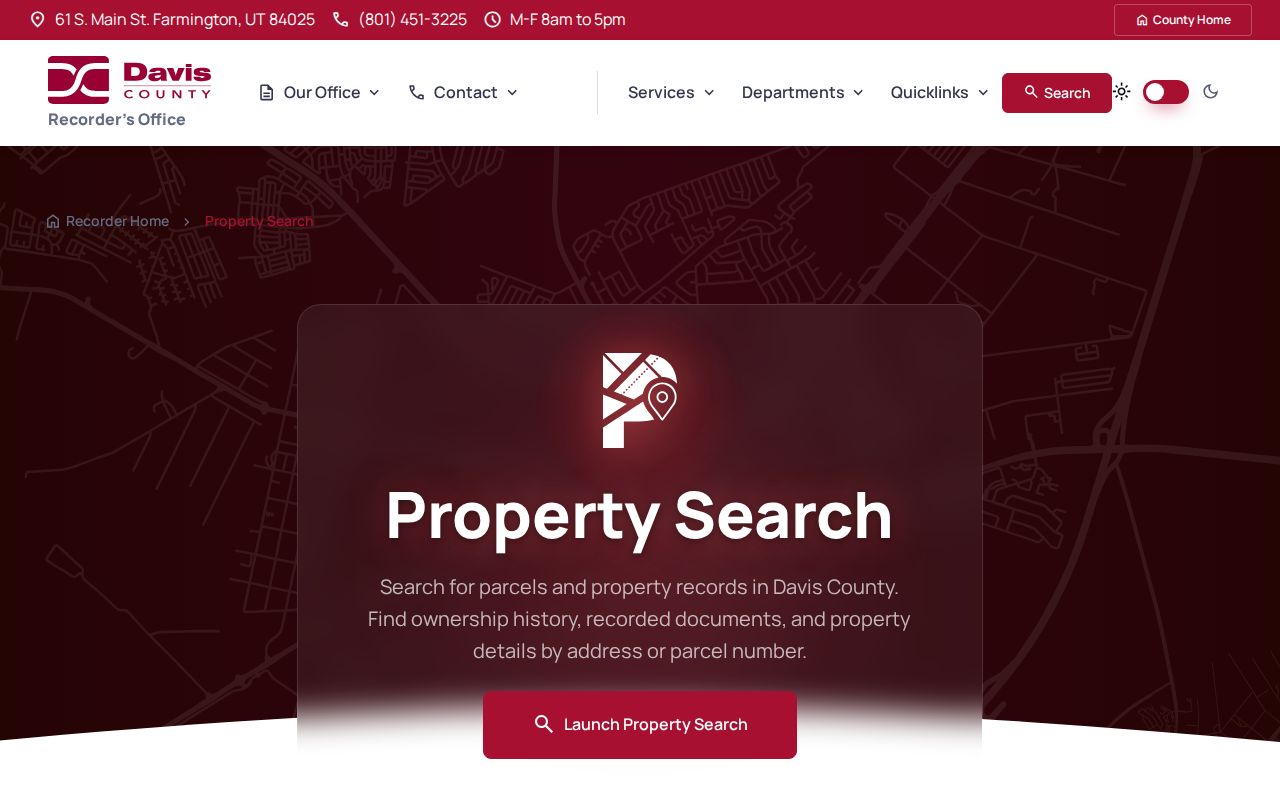
Those modes keep a street search tied to the right record key.
Street-Indexed Syracuse Records
A Syracuse street directory draws from address-keyed sources, but each source has a different evidentiary weight. The parcel card can show ownership, values, tax links, acreage, and a mailing address. A recorded deed adds parties and a legal description. A GIS layer shows geometry and nearby parcels. A permit request can show address-linked work or an applicant if a responsive record exists. A voter record can show public registrant fields at the file snapshot.
| Record Set | Keeper | What It Shows | Access |
|---|---|---|---|
| Property and tax roll | Davis Assessor / Recorder | Owner, parcel, mailing address, tax links | Free search and map |
| GIS parcel map | Davis County and Utah SGID | Parcel shape, adjacent land, supplied fields | Free viewer and service |
| Deeds and liens | Davis County Recorder | Grantor, grantee, instrument, date, legal description | Index, terminal, copies |
| Voter record | Utah and Davis elections | Public registrant, address, district, status fields | Individual or file route |
| Building permits | Syracuse Community Development | Address-linked work and possible applicant | Request, public index gap |
The parcel number ties the property roll to the recorder and map. The street address helps find a voter or permit record. The legal description can remain useful when a street label or number changes. Keep the owner name, mailing address, situs address, and occupant clue in separate columns. That simple separation prevents the street directory from turning a property relation into a residence claim.
Walk the Syracuse Parcel Map
The Davis map is the visual heart of a street-by-street search. Search the target address first. Zoom until parcel lines and street names are clear. Click adjoining polygons and copy their parcel IDs, legal descriptions, and address cards. A rear lot, corner lot, easement, or parcel without a mail address can sit beside the target without following a neat street-number sequence.
Utah SGID supplies a statewide parcel layer and address-point layer for cross-checking. The address-point fields include full address, unit or building flags, city, ZIP, FIPS, USNG, source, and load date. The state warns that an address point may not receive mail. GIS also gives context through tax district, acreage, class, building, and subdivision fields where the local feed supplies them. Treat missing fields as a gap.
Open the Davis property map to connect a selected parcel to tax and legal-description details.
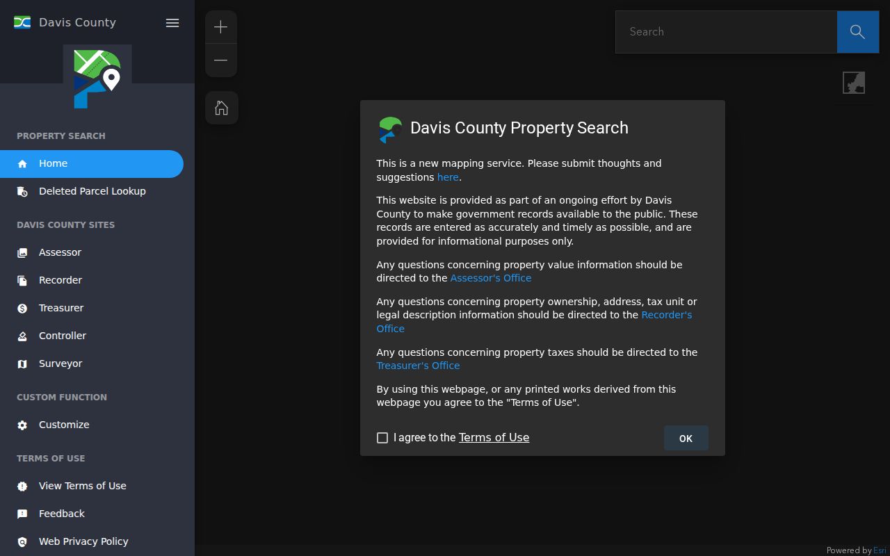
The map is the right place to begin an adjacent-parcel pass.
Syracuse Numbers Start at Clearfield
Syracuse has a useful local addressing quirk. Its street numbers count from Clearfield's 0/0 origin. Clearfield's Center Street marks 0 north and south, while Main Street, State Street, or SR 126 marks 0 east and west. The official Utah address-system material also says Clinton, Sunset, West Point, and Syracuse use the Clearfield origin, while other Davis cities have their own origins.
Address ranges often use 100-number blocks and about 800 numbers per mile, but that is a convention, not a promise for every cul-de-sac, unit, private road, or annexed parcel. No official Syracuse-wide readdressing project or year-specific renumbering crosswalk was located. When an old number fails, search the cross street, printed ZIP, legal description, and nearby parcel rather than inventing a rename.
Open the Utah SGID address-points layer to see source and load-date context for an address join.
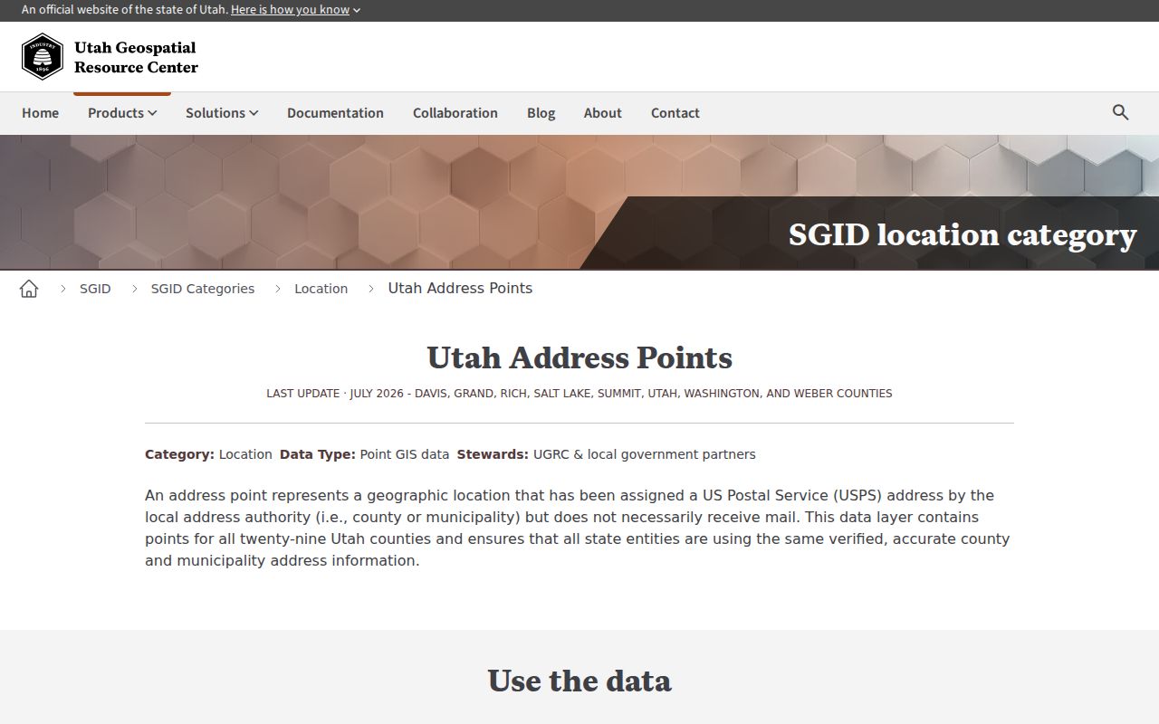
USPS remains the separate check for mail standardization.
Deeds Along a Syracuse Block
For a single parcel, start with the current owner and the legal description, then look for the latest deed. The grantor is the seller or transferor. The grantee is the buyer or recipient. Search the earlier grantor as a grantee in older instruments, while watching for trusts, companies, name variants, and estate transfers. A mortgage or lien has a different purpose from a deed and should not be read as a change of occupancy.
Davis REDI-Web adds scanned documents, plats, surveys, abstracts, and print or download options through a subscription. Its published comparison lists $25 per month and $1 digital documents, while in-person or mail alternatives have no monthly fee, $2 per page copies, and a stated 5 to 10 business day time. Confirm the current fee page before ordering. Public recorder terminals remain a fallback.
Review the Davis REDI-Web page before comparing subscription images with public-terminal and mail routes.

Preserve the document number before requesting a copy.
Syracuse Permits by Address
City permits can add a date to an address history. Syracuse Community and Economic Development handles planning, permits, licensing, and code enforcement. The city's permit guidance identifies work categories that may require a permit, but the research did not locate a public address-by-address permit-history screen or a complete field list. A permit request should name the address, parcel if known, work type, and date span.
A responsive record may identify an applicant, contractor, owner, work description, or inspection event. It will not list every person connected to the parcel. Code or civil-citation material can likewise anchor an address to a violation category or appeal route, but no public searchable case index was located. Keep permit evidence in its own column beside the property and deed relations.
Voter and Reverse Directory Layers
Utah Vote Search takes first name, last name, date of birth, street, city, and ZIP. It does not expose a browse-street result in the inspected screen. A full public voter file can contain residential and mailing address, precinct or district, status, party or unaffiliated choice, and vote history, but it is a separate paid request and protected records are withheld. This is a file snapshot, not a census.
A reverse or criss-cross directory changes the direction of the search. Find a dated volume, confirm the publisher, then move through its street section by directional name and number. Note each occupant, spouse or widow notation, business line, and abbreviation. Cross-check the alphabetical section and a neighboring year. A disagreement can come from a move, boarder, business address, OCR error, or old numbering.
Use the Utah SGID parcel layer as a second geometry check when a historic street entry does not line up with the modern map.
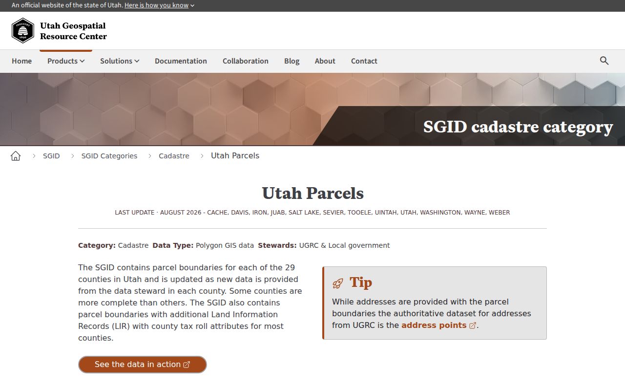
The statewide layer adds context, not a resident list.
- Parcel
- A mapped land unit with a parcel or serial identifier.
- Situs address
- The physical location of the parcel, distinct from its mailing address.
- Plat
- A recorded map that ties lots, blocks, streets, and easements together.
- Criss-cross directory
- A directory arranged by street or address, often with occupant and business clues.
Normalize a Syracuse Street Address
A street directory can fail when the same place is written four ways. Preserve the situs address, tax mailing address, postal city, ZIP, municipality, parcel ID, and legal description. Use USPS to standardize a deliverable address, Utah SGID Address Points to compare the local address record, and the Davis parcel map to confirm the land unit. An address point may not receive mail, and a ZIP polygon is not a legal parcel boundary.
This check is important for Syracuse because the street grid counts from Clearfield. An old letter, directory, or deed may use a number that needs the Clearfield origin, a nearby cross street, or a plat to make sense. No official year-specific Syracuse renumbering crosswalk was located. Mark that gap clearly and avoid guessing a former street name.
Street Directory Boundaries
A street directory cannot reliably show every occupant, household member, private utility account, delivery recipient, or motor-vehicle address. Syracuse explicitly treats utility customer data as nonpublic. DMV information is restricted by the federal Driver's Privacy Protection Act. Courts can exclude sealed, expunged, juvenile, adoption, and private family-law matters. A public owner or voter record remains a limited record relation.
Use the address chain for family history, reconnecting, parcel curiosity, and civic research. If a record is wrong, contact the custodian with its document or parcel number. Do not publish full birth dates, signatures, identification numbers, or a protected address. A street search should narrow a lawful question, not create a list for unwanted contact.
The same caution applies to a complete street worksheet. The map tells you which parcels touch. The card tells you what the county has indexed. The deed tells you about a recorded transfer. A voter result tells you about a registration record. These can be placed side by side, but they should not be collapsed into a claim about every Syracuse household.
Write down the source date for every row, then retain the record number used to retrieve it.
Lawful use. Syracuse address records may support personal research and safety awareness. Using a name or address to stalk, harass, monitor, intimidate, or harm another person can violate Utah law.