
Start With Your Syracuse Neighbors
A block-level neighbor lookup combines geography with limited public records. The Davis Property map identifies the target and adjacent parcels. A parcel card may show an owner, mailing address, legal description, acreage, tax links, and map context. The voter file can contain public registrant, address, district, status, and vote-history fields when lawfully accessed. Association sources can name a subdivision or public contact, but they do not publish a complete membership list. Historical directories show a dated past household, not a current block.
| Source | What It Shows About a Block | Access |
|---|---|---|
| Davis Property map | Target and adjacent parcels, IDs, legal and tax links | Free map and card |
| Property and tax roll | Owner and mailing address per parcel | Free county search |
| Utah voter file | Public registrant, address, status, district fields | Individual or file route |
| HOA and association sources | Association name, filing, public contact | Registry or association page |
| Criss-cross directories | Dated address-to-occupant history | Library or digital collection |
An owner is not automatically an occupant. A mailing address can be elsewhere. A voter match is limited to a registration record and file date. A parcel polygon can include a rear lot, easement, or common area. A neighbor lookup should state what the source shows and what it does not show before a name is attached to a block.
Review the Fields at Syracuse association site for its stated home count and association-managed board, meeting, and covenant material.
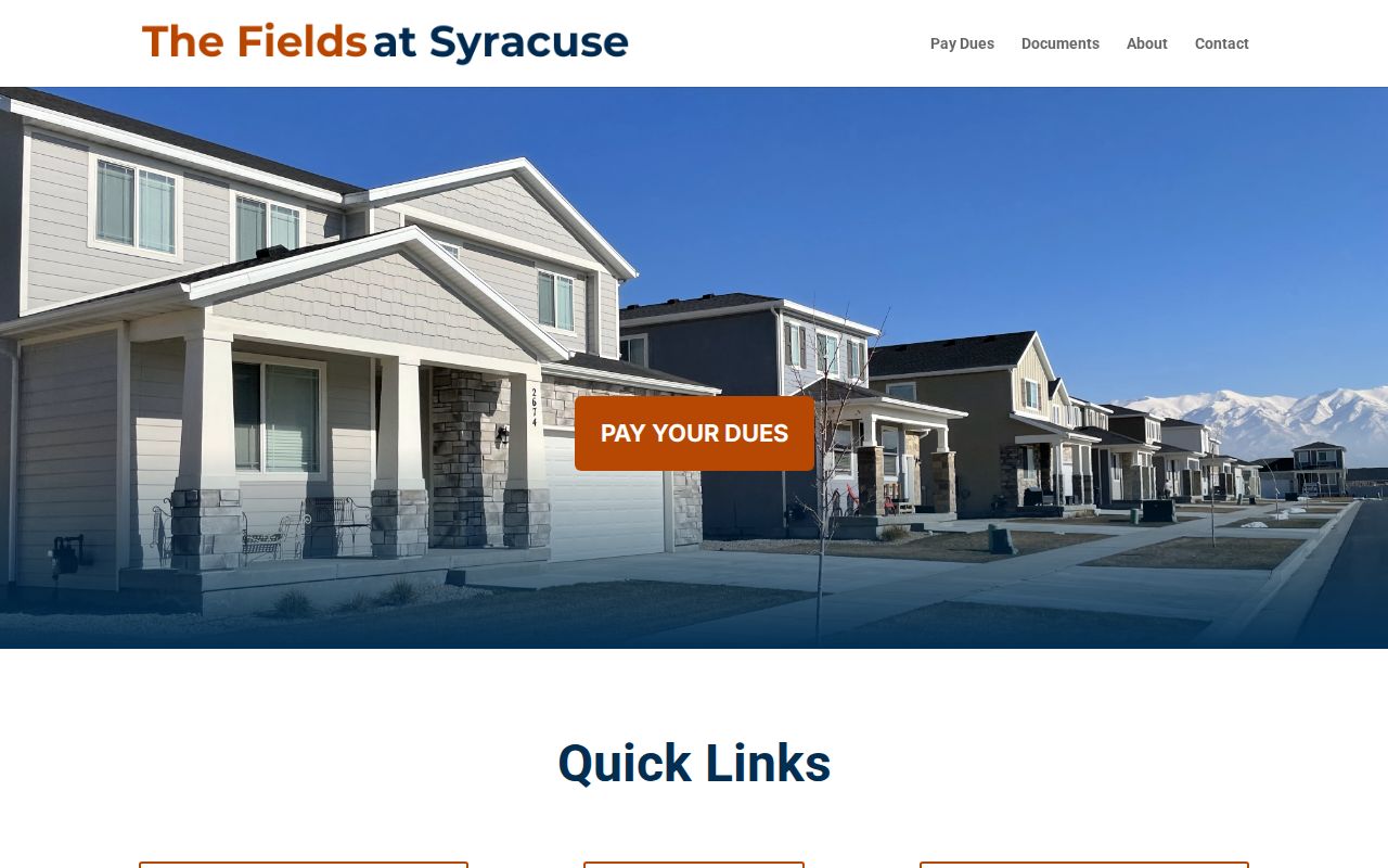
It is community context, not a public member directory.
Syracuse HOA Records for Neighbors
Utah's official HOA registry is the first check for an association name or registration number. The registry transition says associations use the new system for registrations, updates, and termination from September 2025. An old subdivision page should therefore be compared with the official filing. The registry can establish an association record, not that a named person belongs to it.
Research located public Syracuse references to Still Water and Trailside. Still Water material concerns common-area or utility easements and gives a public contact address. Trailside appears in a public meeting or agenda notice, but no current official member directory was located. Use a notice or plat for the stated purpose, not an inferred household link.
Open the Utah HOA registry to use the all-or-part name or registration-number search.
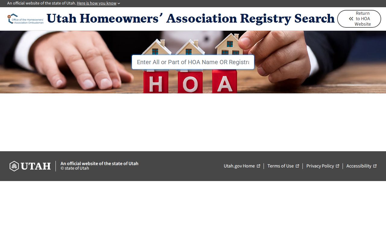
The registry is the verification layer for association identity and status.
Read the Utah HOA registration transition notice before treating an older association page as current.
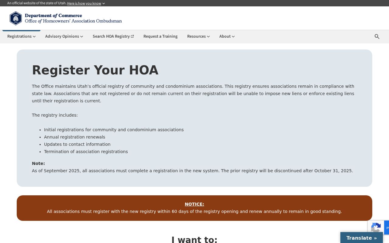
The notice explains why a current filing matters after September 2025.
Map Syracuse Neighbors by Parcel
The adjacent-parcel method keeps a neighbor lookup tied to the physical block. A buffer or radius tool was not confirmed in the Davis instructions, so walk the map one polygon at a time. Save the target parcel before looking outward. Keep each card's parcel ID, address, legal description, and mailing address separate.
- Locate the address in the Davis County Property Search map and write down the parcel ID.
- Zoom until boundaries and street names are clear, then click each adjoining polygon.
- Compare owner, situs, mailing, legal-description, and tax fields without calling the owner an occupant.
- Use Utah SGID address points and parcels to cross-check geometry and address formatting.
- For the whole named street, move to the Syracuse street directory method.
The result is a physical block sketch, not a list of all Syracuse neighbors. A map polygon can represent a non-addressed parcel, easement, or common area, and the research did not confirm a bulk export or radius search.
Where a Syracuse Neighbor Search Stops
A physical block is not a public household register. The parcel map can show adjoining land, but an owner may not occupy the parcel. A mailing address may be outside Syracuse. A voter file may omit an unregistered person or protected voter. An association page may describe common areas or board contact without naming members. A historic directory may show a person in one year and no later year at all.
Do not use utilities, delivery data, DMV records, sealed court material, or confidential vital details to fill those gaps. Syracuse states that utility customer data is not public. Utah's Safe at Home program protects eligible participants through an assigned address, and Utah voter law protects at-risk records. The absence of a name is not evidence that a neighbor was absent.
If a block question becomes a person question, keep the purpose narrow and use the proper custodian. For a full named-street chain, move to the street directory workflow. For a past household, use the city-directory and previous-residents routes. A neighbor lookup should end with a source note and a clear limit, not an accusation or a contact attempt.
Keep the block map, parcel cards, and person-level notes in separate files or sections.
The most useful neighbor worksheet has a map column, a parcel column, a source-date column, and a short statement of what the record proves. It can say “adjoining parcel,” “owner shown,” “registration record,” or “historic address entry.” It should not say “the household lives here” unless a proper custodian expressly supplies that relation, and the researched public systems generally do not do so.
When a block includes a private road, rear lot, shared driveway, common area, or unaddressed parcel, physical adjacency needs more care. Use the legal description and plat to explain the shape. Use the address-point layer for unit clues. Use the association filing for association identity. Keep the conclusion tied to the source instead of using a broad label for all Syracuse neighbors.
Syracuse Neighbor Community Geography
Syracuse has named places that help explain a block without defining a legal neighborhood. The parks plan lists Bluff Ridge, Canterbury South, Centennial, Founders, Fremont, Jensen, Legacy, Linda Vista, Linear, Monterey, North Canterbury, Regional, Rock Creek, Stoker, Trailside, and Tuscany. Disaster Preparedness districts include Fremont Park, Legacy Park, Syracuse Bluff, Syracuse, Syracuse South, Syracuse West, and at-large members.
These names are planning, park, and civic references. They do not reveal household membership or property ownership. Use them to search a public notice, plat, planning file, museum story, or newspaper, then verify the parcel and association with the proper custodian. A park name can indicate development context without being a boundary line.
Historic Syracuse Neighbors by Street
A past-neighbor question may be answered by a criss-cross directory, newspaper, census page, or historic building record. The address section can place a household on a street for a given year. Marriott's Syracuse Historic Building Records filter returned 28 named or addressed records, including houses and a cabin. Those entries are architectural leads, not a complete list of people who lived nearby.
Pair a historic street entry with the modern parcel, legal description, and map. If the street number does not join cleanly, test the Clearfield-origin addressing rule, a cross street, and the old ZIP. Keep current neighbor research separate from the historical block table, because a former occupant and a current owner are different record relations.
Syracuse Neighbors and Voter Data
Utah voter data can add a public registration relation at a nearby address. Public fields may include residential and mailing address, precinct or district, status, party or unaffiliated choice, and vote history. Full date of birth, identification data, phone, email, signature, and at-risk records are withheld. Individual Vote Search accepts a name, date of birth, street, city, and ZIP, but it is not a block browser.
A registration snapshot cannot show every person present, every household member, or a nonregistered neighbor. It also cannot override the parcel card's distinction between owner and mailing destination. Present any voter result as a time-bound public record and keep the minimum detail needed for the research question.
Syracuse Sources Versus Neighbor Tools
Official sources are narrow but traceable. Compiled neighbor tools may combine parcel, marketing, address, and older public data. The compiled category can be stale, merge people with similar names, or repeat a mailing address as though it were a residence. It can be a discovery lead, but the custodian remains the verification layer.
| Source type | Strength | Limit |
|---|---|---|
| County parcel and recorder | Stable parcel, owner, deed, and legal-description relations | Does not list every occupant |
| Utah voter record | Public registration fields at a file date | Protected fields and unregistered people are absent |
| HOA or civic page | Association or community context | No complete public membership roster |
| Compiled neighbor category | May surface a name or older address lead | Source date and identity match can be unclear |
Privacy Limits on Syracuse Neighbors
Some Syracuse block information is not public. Utility customer data is explicitly private. Delivery records and motor-vehicle addresses are not a neighbor source. Safe at Home assigns a public-facing address to eligible participants while protecting the actual residence. Utah at-risk voter designation also withholds protected records. Courts and vital records have separate sealed, expunged, juvenile, adoption, and eligibility limits.
Use neighbors research for personal safety awareness, family history, reconnecting, and understanding a place. Do not bridge a protected address, infer a household relationship, or publish a private location from a map clue. If a record is wrong, preserve its source and ask the custodian for correction or access guidance.
Lawful use. Syracuse neighbor searches may support personal research and a better understanding of the block. Using a name or address to watch, stalk, harass, intimidate, or harm another person can violate Utah law.