
Syracuse ZIP Coverage
The official Utah ZIP listing identifies 84075 as the Syracuse postal city and the research found no additional ZIP listed as Syracuse proper. Nearby ZIP codes are useful controls, but they should not be labeled extra Syracuse ZIPs. A ZIP code directory should state whether a row describes the city, an adjacent postal area, or a statistical comparison.
| ZIP Code | Areas Covered | Post Office | Notes |
|---|---|---|---|
| 84075 | Syracuse postal city and core local route | Syracuse delivery route, station name not captured | Verify every address with USPS |
| 84015 / 84016 / 84089 | Clearfield, Clinton, and adjacent Davis postal areas | Local USPS routes | Not Syracuse proper |
| 84037 | Kaysville postal area | Kaysville routes | Appears in the Syracuse/Kaysville statistical area |
| 84025 / 84040 / 84041 | Farmington and Layton comparison areas | Farmington or Layton routes | County controls, not Syracuse ZIPs |
84015, 84016, 84089, and 84037 help test a boundary assumption. The research did not locate an official PO-box-only ZIP, unique institutional ZIP, station-name table, or ZIP-by-ZIP population count for Syracuse. Davis County's CHIP map groups Syracuse and Kaysville using 84037 and 84075 as a small area, which is a health-statistics boundary, not a city-limit statement.
Open the Utah ZIP polygon layer to compare the delivery geography.
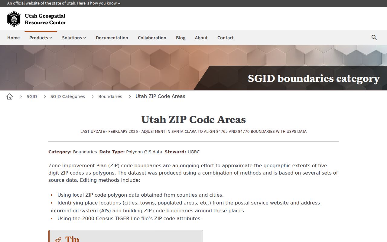
The layer is useful for context, but its boundaries are approximate rather than legal parcel lines.
USPS Modes for Syracuse ZIPs
USPS offers three different ZIP code checks. ZIP by Address requires a street address, city, and state, with company, apartment, and ZIP fields available around that core. ZIP by City and State starts with the place name. Cities by ZIP starts with the five-digit code. The modes answer postal questions, not who lives at an address. USPS also warns that standardization does not confirm a person or company.
| USPS mode | Fields documented in the research |
|---|---|
| ZIP by Address | Company optional, street required, apartment optional, city and state required, ZIP optional, Find. |
| ZIP by City and State | City, state, Find. |
| Cities by ZIP | ZIP, Find. |
Use the Utah official ZIP data route as a second source for county and postal comparisons.
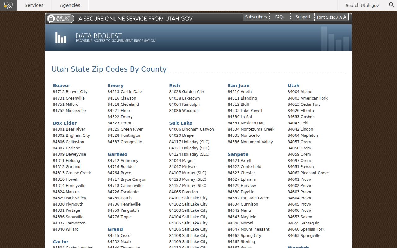
Keep postal geography separate from a resident record.
Find Syracuse Residents by ZIP
A ZIP code directory can narrow a search, but the portals do not all accept ZIP in the same way. Vote Search accepts ZIP with first name, last name, date of birth, street, and city for a one-person match. Davis Property Search offers owner, property address, parcel or serial, and document-entry modes, and no ZIP filter was located. GIS layers accept geographic queries, but they do not become a list of residents.
- Verify the street, city, state, and ZIP with USPS, then retain the standardized address.
- Use Vote Search for one lawful name-and-address check, knowing that protected records are withheld.
- Use the Davis parcel map or property search to reach an owner, parcel ID, and legal description.
- If a ZIP-level dataset is lawfully obtained, preserve its snapshot date and terms before filtering.
Once a ZIP narrows the question to an address, the Syracuse street directory supplies the parcel-by-parcel method. Do not turn a ZIP polygon into a household list.
Join Syracuse ZIPs to Parcels
A ZIP code narrows geography, but the parcel is the land record key. First confirm the address through USPS. Next compare the Utah SGID address point, city, ZIP, unit or building flag, and source date. Then open the Davis County parcel map and save the parcel ID, situs address, legal description, and mailing address. These layers answer different questions, so keep each source date in the worksheet.
Davis Property Search did not expose a ZIP filter in the inspected modes. It uses owner, address, parcel or serial, and document-entry paths. GIS can query polygons and features, but no local all-residents-by-ZIP tool was located. If a lawfully obtained dataset is filtered by ZIP, follow its terms and preserve the file snapshot. Do not treat the result as a complete Syracuse household count.
Historic Syracuse ZIP Changes
Modern ZIP code work can misread an older Syracuse address. Postal Bulletin 22088 records a 2002 Davis County scheme change involving 84015, 84075, and 84089, with 84016 and 84075 appearing in the adjusted routing. A historic letter using a nearby code may reflect its postal era. Search the printed ZIP with the street number, cross street, surname, and legal lot or block.
For a current ZIP code directory, use 84075 as the Syracuse focus and label 84015, 84016, 84089, and 84037 as adjacent or statistical controls. CHIP's Syracuse/Kaysville grouping is useful for health geography, but it is not a statement about city limits. Confirm postal geography with USPS and municipal geography with the parcel or city office.
The 2002 Syracuse Postal Shift
USPS Postal Bulletin 22088 records a 2002 Davis County scheme change involving 84015, 84075, and 84089, with 84016 and 84075 appearing in the adjusted routing. That is evidence of a postal routing change, not proof that every municipal boundary moved at the same time. A historic letter using a nearby ZIP may reflect its postal era rather than a different town.
For a past address, search the printed ZIP, street number, cross street, and surname together. Then compare the result with the legal description and parcel map. A directory page, census entry, deed, and postal code can all be correct for their own dates while looking inconsistent in a modern search.
Separate Syracuse Postal Fields
A postal address can carry more than one geographic label. Record the street line, unit, postal city, ZIP, municipality, parcel situs, tax mailing destination, and source date as separate fields. For a Syracuse address, 84075 may be the postal code even when a boundary question points toward Clearfield, Clinton, or another nearby place. The code does not settle the municipal question.
USPS verifies delivery formatting. Utah SGID Address Points supplies a local address feature with city, ZIP, unit or building flags, FIPS, USNG, source, and load date. Davis County supplies the parcel and legal description. The map may include a parcel with no mail point, and the address layer may contain a point that does not receive mail. Join them only after the street and city labels agree.
This separation matters for family history too. A directory may use an older postal code. A census page may use an enumeration area. A deed may use a lot and block. A modern ZIP code directory can connect those clues, but only with the old wording preserved alongside the normalized address.
Where Syracuse ZIP Lines Meet City Limits
A ZIP code directory must separate four locations in a Syracuse record trail: the physical parcel, the tax mailing destination, the postal city, and the municipality. A postal address can sit near another city line, while a parcel may use a delivery route whose city label differs from the map label. ZIP geography helps locate a record, but it does not decide legal jurisdiction.
- ZIP versus ZIP+4
- A five-digit ZIP identifies a broad postal area; the extra four digits refine delivery.
- PO-box ZIP
- A ZIP used for post-office boxes or a postal facility rather than ordinary street delivery.
- Unique ZIP
- A code assigned to one institution or organization, when USPS designates one.
- Carrier route
- A delivery path within a postal area, not a legal neighborhood or resident roll.
Utah SGID says address points are maintained with local authorities and may not represent a mail-deliverable address. ZIP polygons similarly approximate delivery geography. Confirm the current postal result, then join to the Davis parcel only after the street and municipality agree.
ZIP Boundaries Are Not City Lines
A Syracuse mailing address can sit near another municipality, and a parcel near the city edge can carry a postal city that does not match the municipal label a map reader expects. No official ZIP-wide resident list, school-zone resident search, public utility customer list, or ZIP-specific Syracuse permit index was located. The absence of a filter is a limit of the tool, not evidence that no record exists.
Use the ZIP for delivery and statistics. Use the Davis map for land. Use Syracuse Planning or Community Development for city assignment questions. Use the voter or vital custodian for the narrow record they control. A postal match helps locate a record, but it does not establish residence or household membership.
For a parcel-level question, save the ZIP as context and use the parcel ID as the join key.
The same method works with an older address. Preserve the original postal wording, then add the current USPS result beside it. Check the Clearfield-origin quadrant rule when a street number looks too far east, west, north, or south. Check the plat when a lot or block description does not match the road label. Check the county parcel card when the postal city and municipal city differ. Each check reduces a false match without pretending that the postal code contains a resident list.
ZIP 84075 is the useful Syracuse starting point, while nearby Davis codes are comparison controls. A clean worksheet should say “Syracuse focus,” “adjacent postal area,” or “statistical comparison” for each row. That small label protects later readers from treating every nearby ZIP as part of the city.